
Airspace awareness. Anywhere.
See aircraft and drone activity around your site in real time.
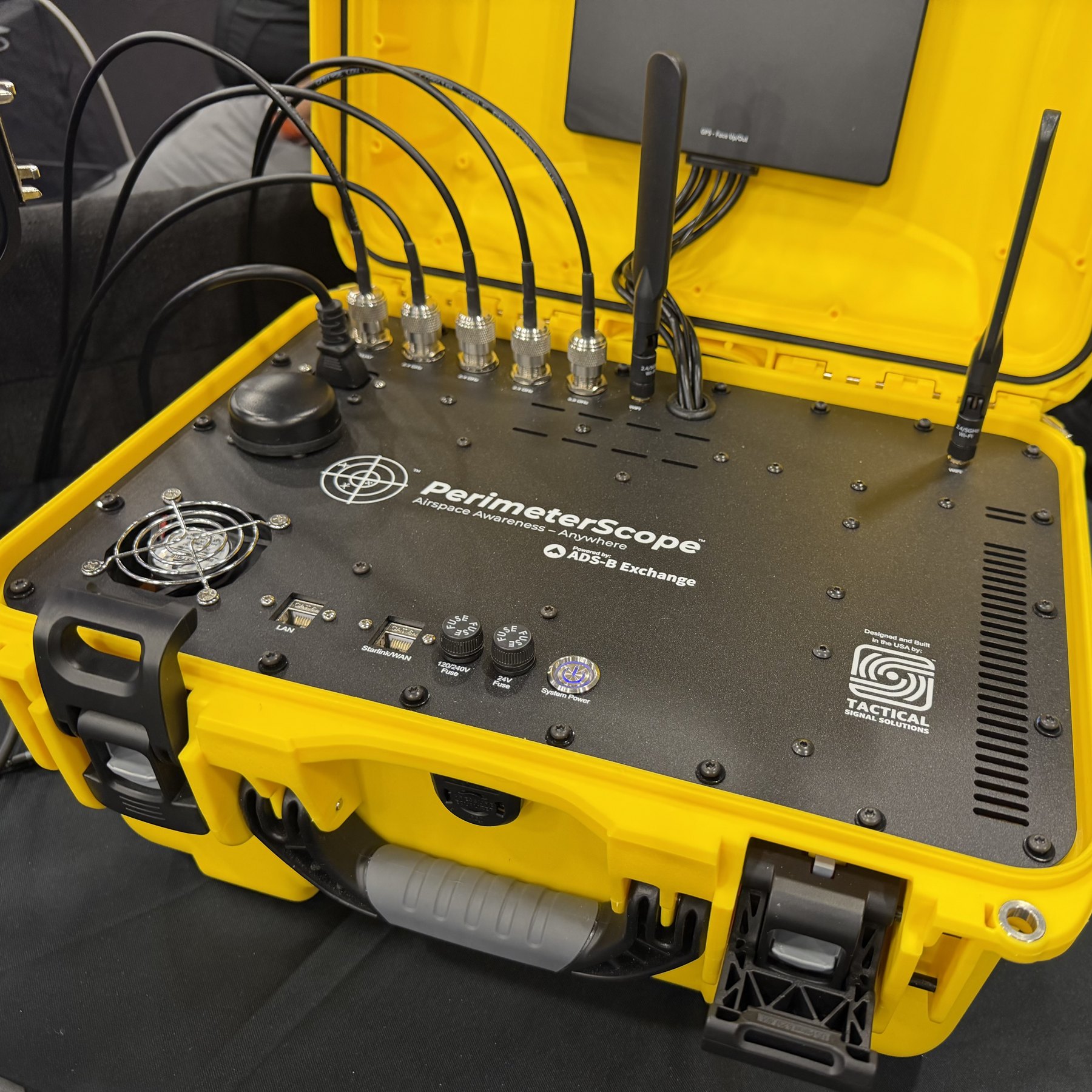
PerimeterScope is tactically deployable, passive airspace awareness. It listens for the signals crewed aircraft and drones already broadcast and puts them on one live map, on scene. It is receive-only toward aircraft and drones, and it never jams or spoofs.
 © 2026 - Tactical Signal Solutions
 © 2026 - Tactical Signal Solutions
Built for the people who share the sky
Wildfire and disaster response
Helicopters, scoopers, tankers and drones crowd the same sky over an incident. A portable unit sets up where the incident is.
Emergency management and public safety
A live picture of the sky over a command post, a search area or a scene.
Executive protection
Takes the sky with you. A portable unit sets up wherever a principal is, and its sensing is receive-only.
Critical infrastructure
Permanent, always-on awareness of what is flying near the site you protect, with a record of what was seen.
Stadiums and large events
Permanent awareness of the sky around a venue, including inside a temporary flight restriction.
The portable unit travels in a rugged case, and one person can set it up. The enterprise version is for permanent installations and is in development.
How it works
Receive
Antennas pick up ADS-B and UAT from crewed aircraft and Remote ID from drones. The sensing chain is receive-only.
Combine
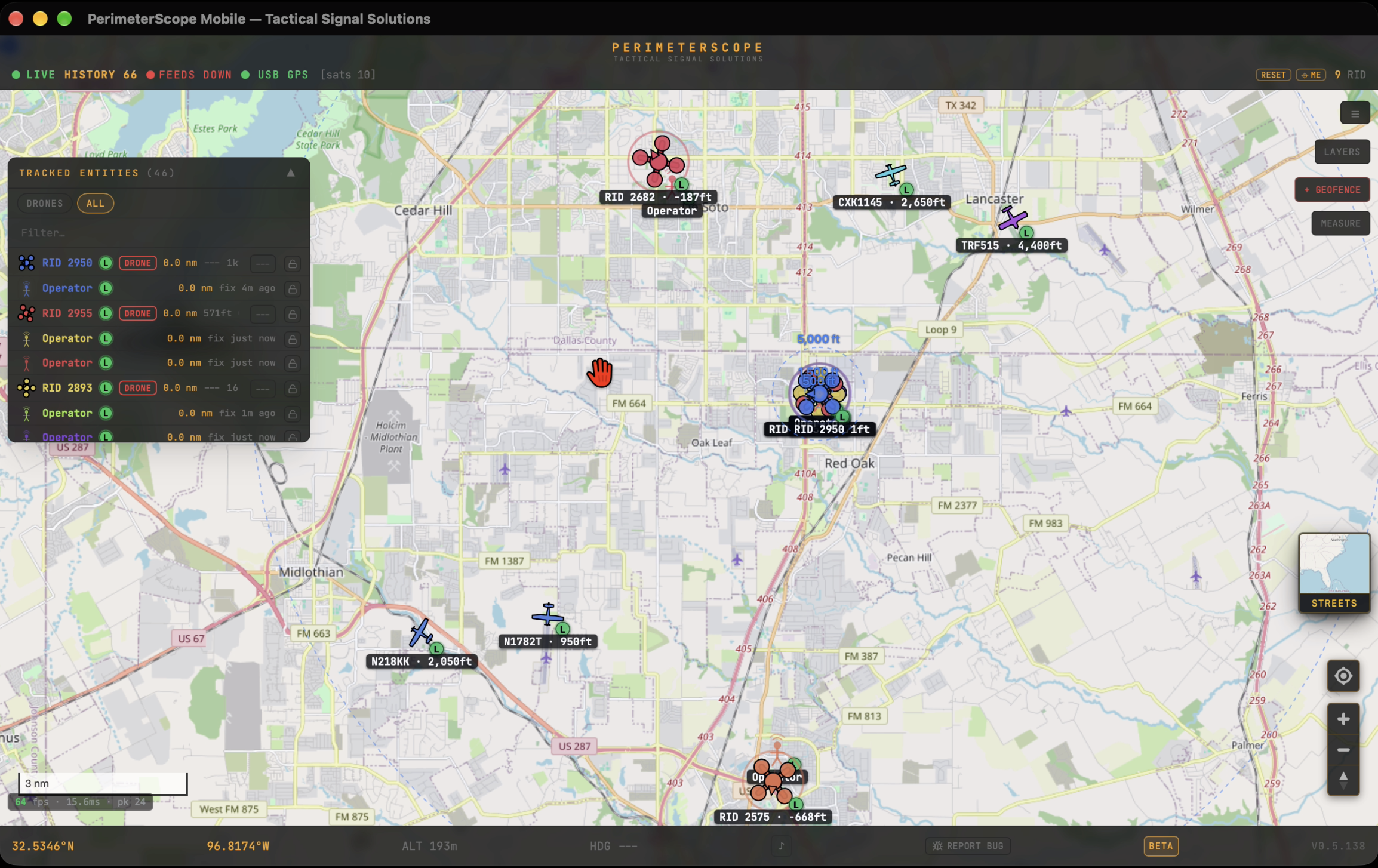
Aircraft and drones appear together on one live map with weather radar underneath. When a drone broadcasts its operator's position, that shows too.
Alert
TFRs are imported automatically. Draw your own geofence, and PerimeterScope alerts you when a drone appears inside or near it.
Share and record
PerimeterScope records what it sees. Detections also appear in real time on the ADS-B Exchange global map.
Seen in the field
Drones and crewed aircraft detected together, on one map.
Wild Goose Fire, Utah
A test drone with its rotors removed, detected at the edge of the fire's TFR.
Starship launch, South Padre Island
A SpaceX camera drone detected near the pad, inside the restricted airspace.
See it in person. We will be at Disasters Expo Texas, Booth 1718, on Oct. 14 and 15 at the George R. Brown Convention Center in Houston, with PerimeterScope running live at the booth. To book a demo or ask a question, request a demo, contact us, email [email protected] or call +1 (386) 800-2553. PerimeterScope is in beta, with field validation underway.