
Disaster response
Airspace awareness for disaster response
Tactically-deployable airspace awareness for disaster response and public safety. Anywhere.
When aircraft and drones share the sky over an incident, everyone needs to know what is up there. PerimeterScope puts crewed aircraft and drones on one live map, on scene, in real time.
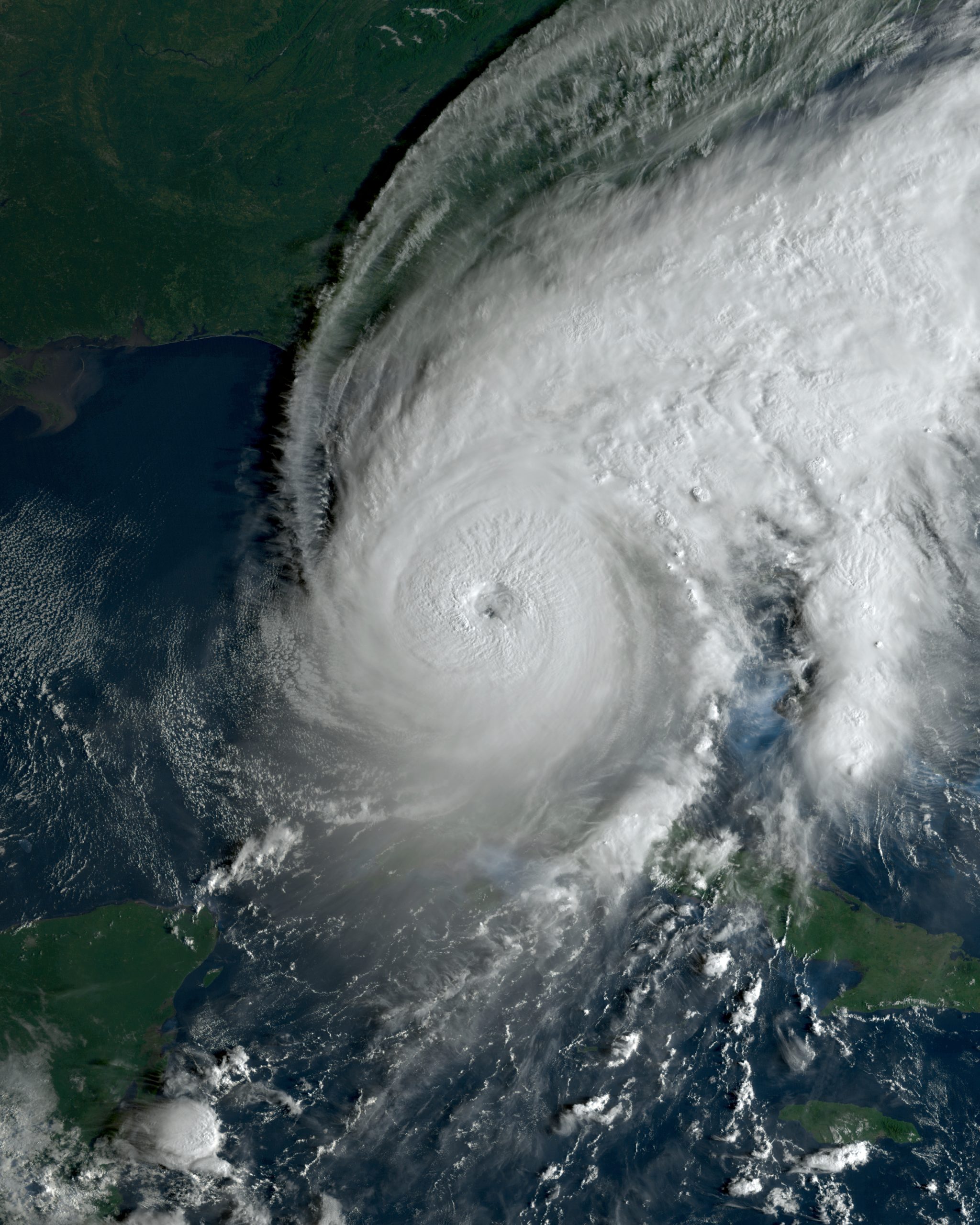 SSEC/CIMSS, University of Wisconsin–Madison
Why it matters
Disaster response is crowded airspace. Helicopters, tankers, scoopers, medevac and news aircraft work low and fast, often near a temporary command post with no tower and no radar. Then a drone shows up, and every minute the aircraft sit on the ground is a minute the incident gets worse.
Source: AVweb, citing the Interior Department.
What has already happened
A drone hit a Super Scooper
The collision damaged the aircraft's wing and took it out of service. Quebec had to send two more CL-415s to cover the gap.
A drone hit a rescue helicopter
A military helicopter made an emergency landing after a drone collision. It was first reported as a private drone. Testimony later showed it was an authorized search-and-rescue drone.
The lesson: the risk is not only illegal drones. Everyone in the airspace needs to see everyone else.
26 incursions in about 72 hours
The sheriff counted 26 drone incursions in the first days of the fires. On Aug. 3, one drone grounded every aircraft on the fires for roughly 30 minutes.
13 stoppages in one fire
Officials logged 23 airspace incursions. Thirteen stopped all firefighting, 12 of them involving drones. Stand-downs lasted as long as 45 minutes.
Drones are part of the response too
Not every drone over a disaster is a problem. After Hurricane Ian hit Florida in 2022, U.S. Army Corps of Engineers drone pilots flew drones in Florida to look at structures that were unsafe to inspect on foot, and Coast Guard teams launched drones to assess waterways after hurricanes. Those are authorized drones, and they share the sky with every other aircraft working the incident.
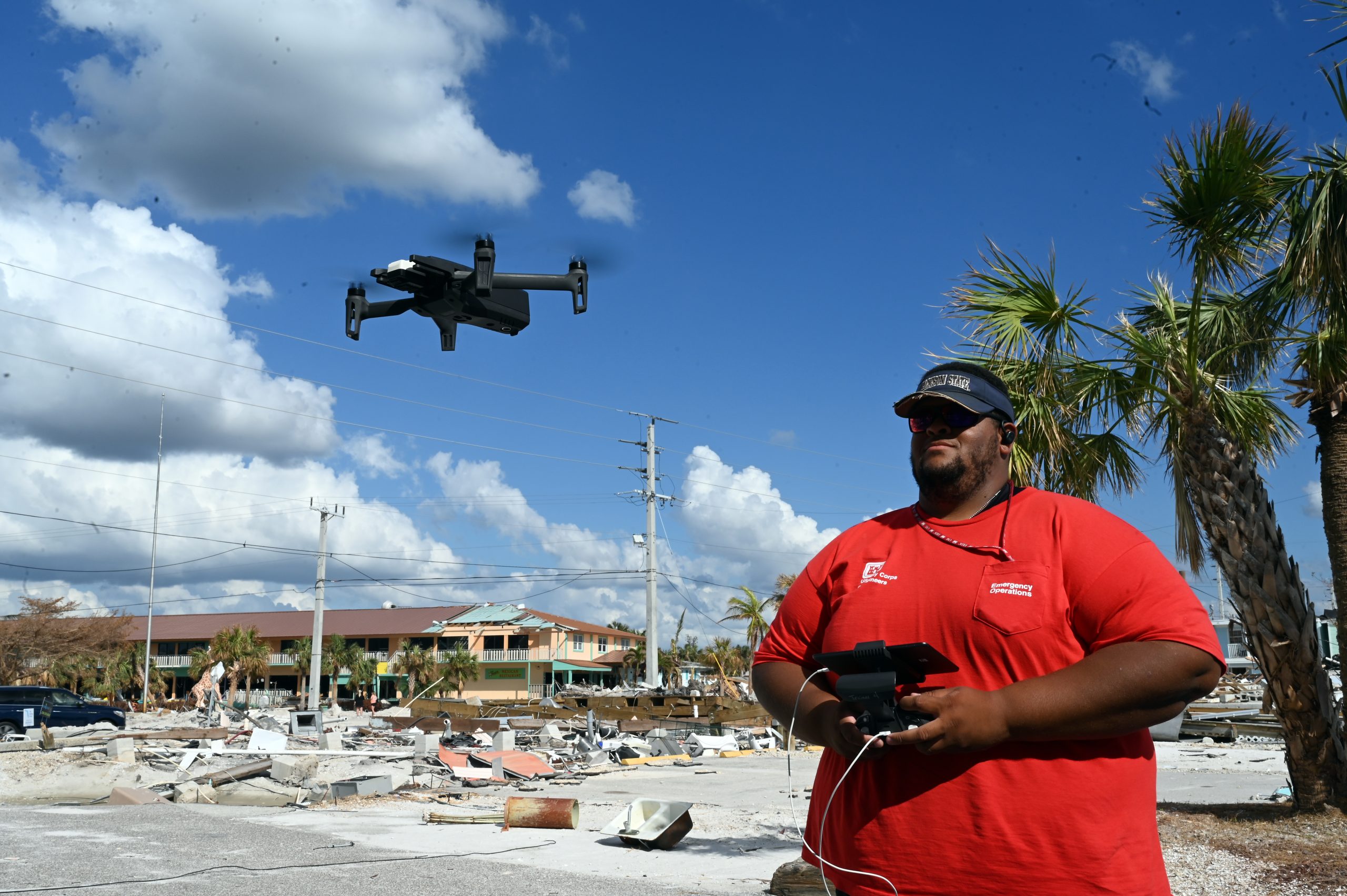 U.S. Army Corps of Engineers, Jacksonville District
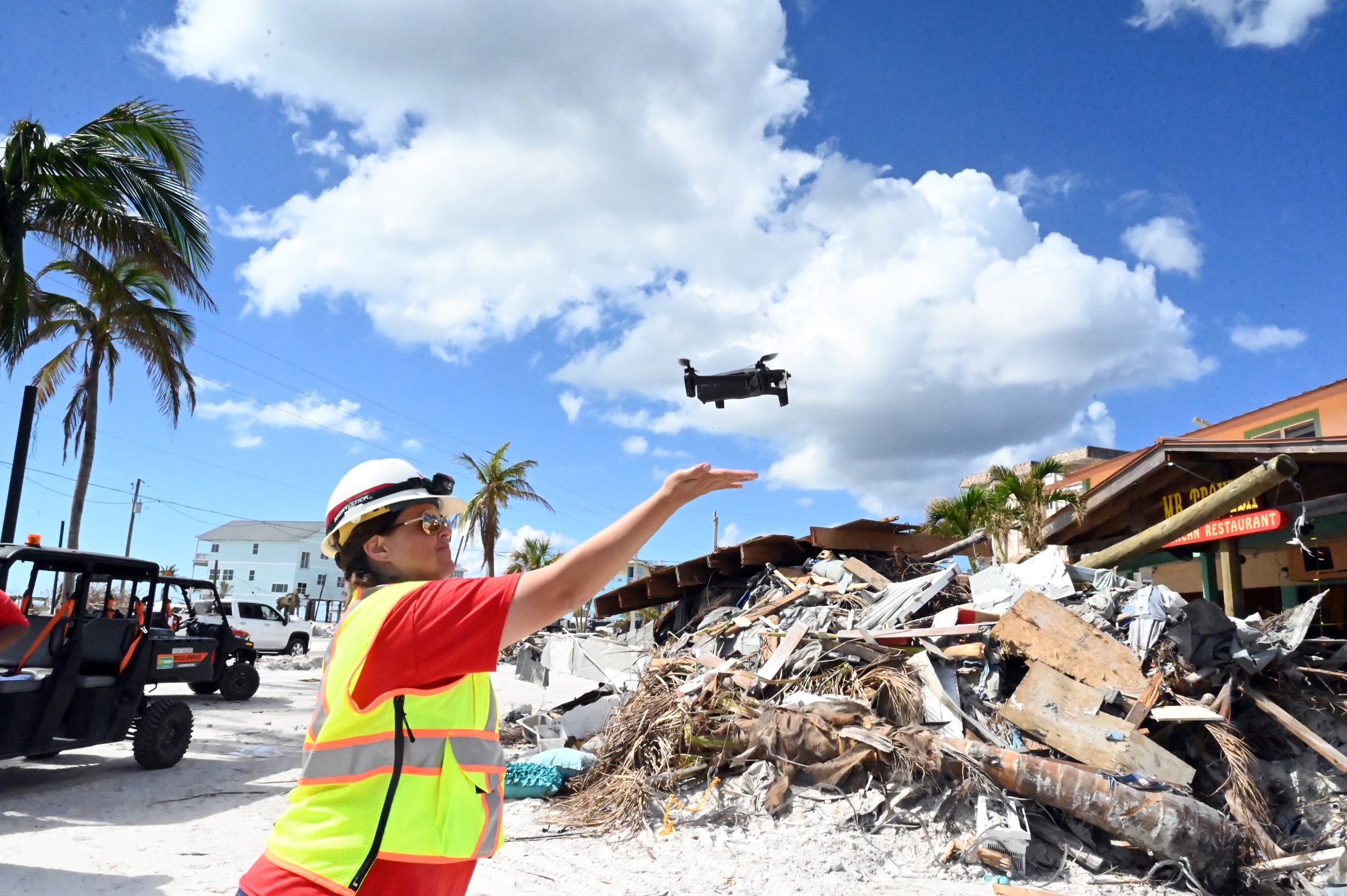 U.S. Army Corps of Engineers, Jacksonville District
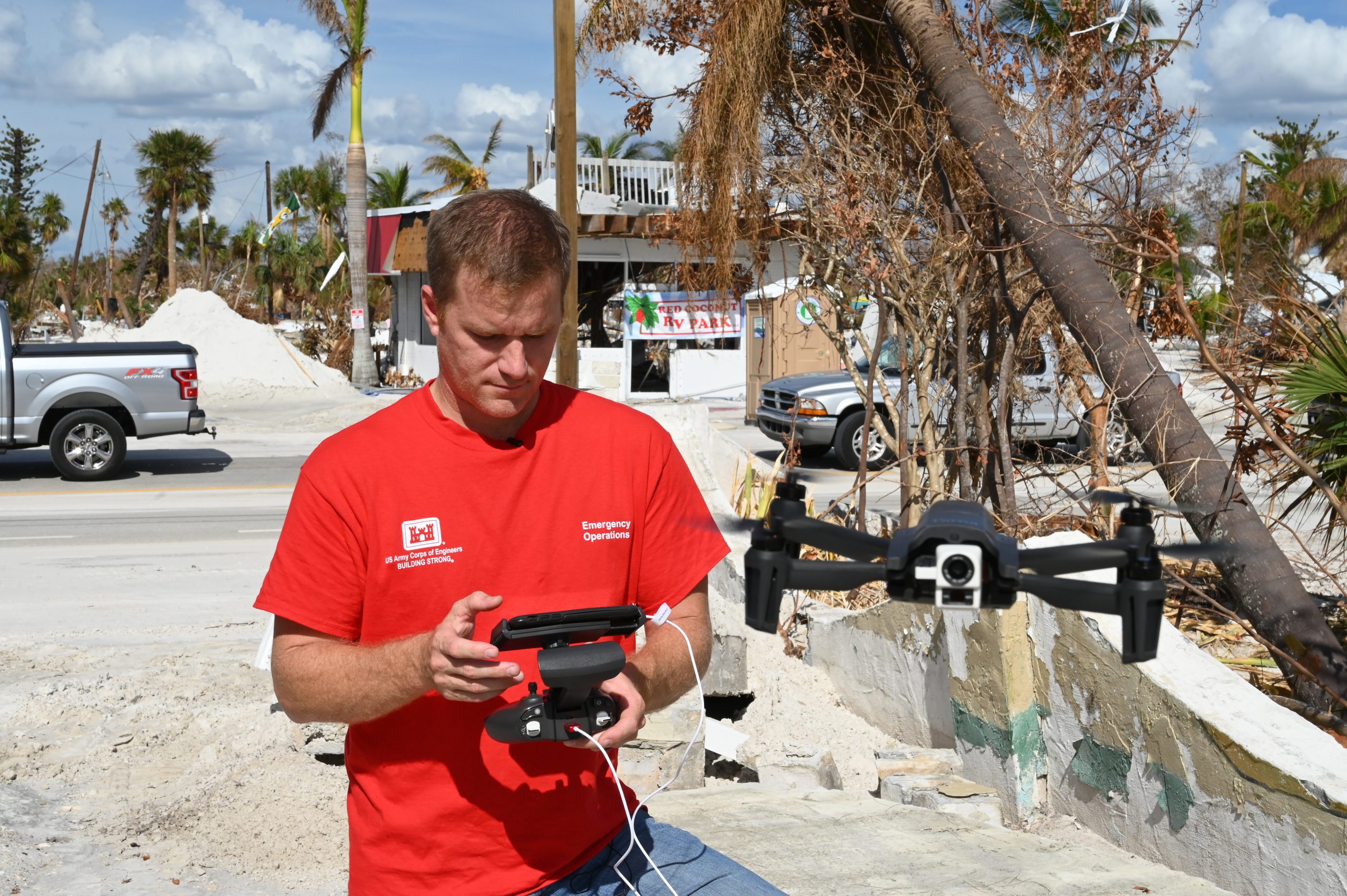 U.S. Army Corps of Engineers, Jacksonville District
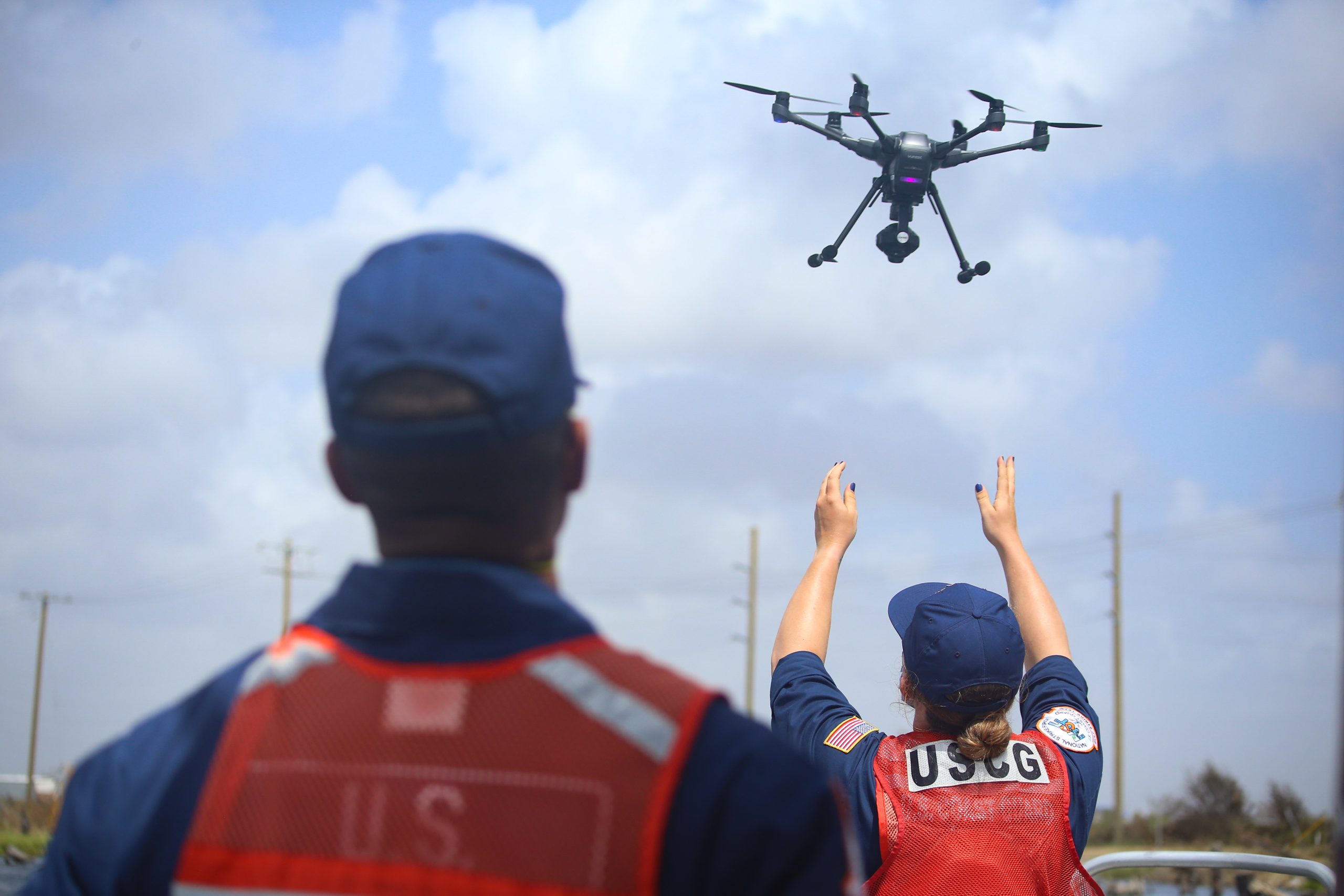 U.S. Coast Guard photo
That is why airspace awareness is about more than spotting rogue drones. A response team needs to see its own drones, its crewed aircraft and anything else that shows up, all in one place. PerimeterScope puts crewed aircraft and drones on one live map.
What PerimeterScope does
- Shows crewed aircraft broadcasting ADS-B or UAT.
- Shows drones broadcasting Remote ID, including the operator's position when it is broadcast.
- Puts both on one map, with live weather radar.
- Imports TFRs automatically and alerts you when a drone appears inside or near one.
- Lets you whitelist known aircraft by squawk code or tail number, so alerts stay meaningful and operators are not worn down by false alarms.
- Records what it sees, so you have the facts after the incident.
Built for the field
PerimeterScope comes in a rugged portable case that one person can set up. It connects through Starlink or another WAN link, or runs on a local network. It is receive-only by design. It listens for signals that are already being broadcast, is receive-only toward aircraft and drones, and never jams or spoofs.
Honest about what it can't see
PerimeterScope shows what broadcasts. A drone that is not broadcasting Remote ID will not appear, and FPV detection is still in development.
PerimeterScope is awareness only. It does not jam, block or take over anything, and it does not replace your procedures or your command authority. It gives the people making decisions a clearer picture.
Proven in the field
Hydra Fire, Bosque County, Texas. PerimeterScope alongside Watch Duty. Aircraft squawking 1255 showed up on Watch Duty a quarter to half a second after they crossed overhead.
Wild Goose Fire, Utah. A test drone with its rotors removed, powered up near the TFR boundary, shown on the map with a geofence alert.
FIFA Fan Zone
During FIFA events in Miami, PerimeterScope detected a drone near the FIFA Fan Zone.
Spokane Complex fires
We tested PerimeterScope during the Spokane Complex fires.
A Walmart drone delivery site
PerimeterScope detected 12 Zipline delivery drones, many in the air at the same time, with their operators and nearby crewed aircraft on one live map.
Starship launch
During the June 2026 attempt, which was aborted, PerimeterScope detected a SpaceX DJI camera drone near the launch pad, inside the TFR.
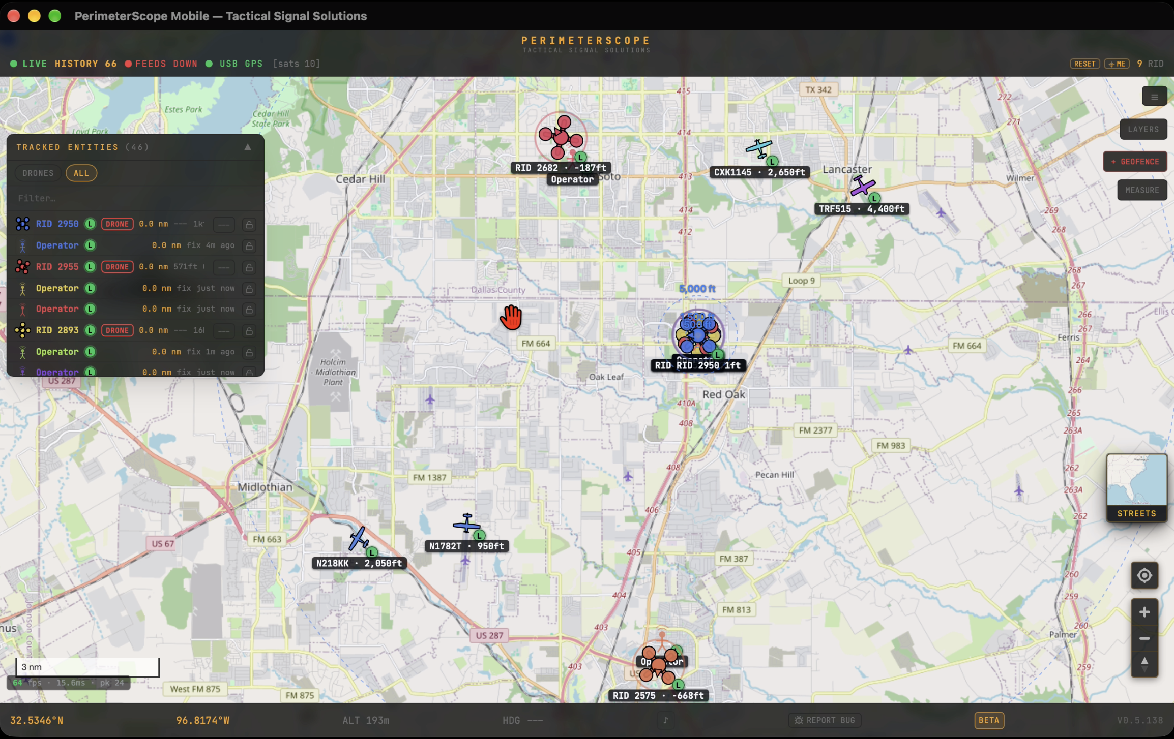 © 2026 - Tactical Signal Solutions
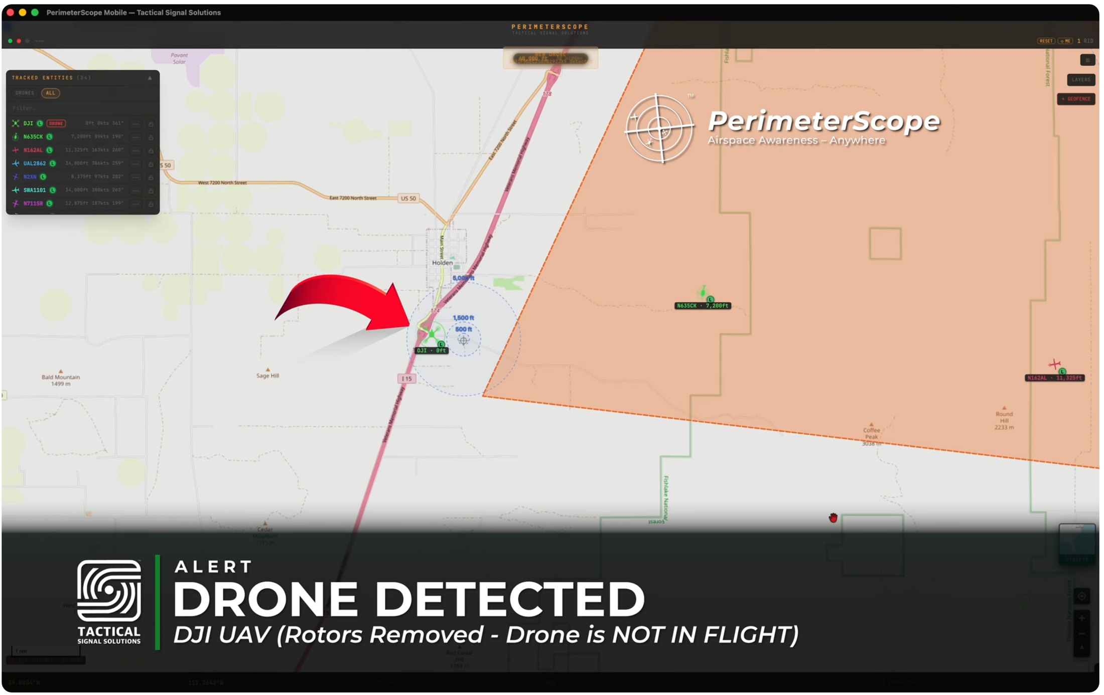 © 2026 - Tactical Signal Solutions
Starship launch TFR, South Padre Island, Texas.
Our detections also appear in real time on the ADS-B Exchange global map.
Status
PerimeterScope is in beta, with field validation underway, and will be available soon. An enterprise version for permanent mounting is in development.
See it running live at Disasters Expo Texas, Booth 1718. Oct. 14 and 15, George R. Brown Convention Center, Houston.