By James Lea, Developer, PerimeterScope
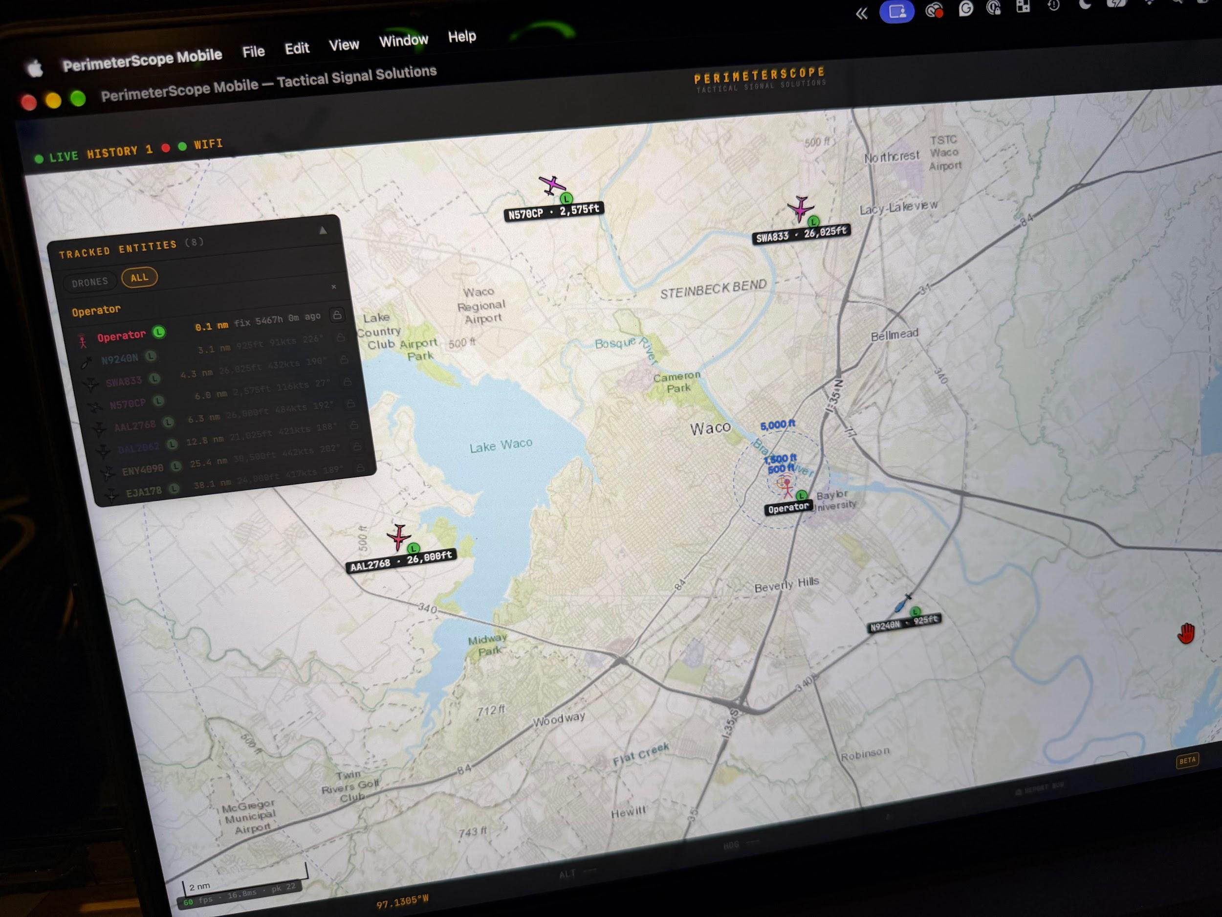
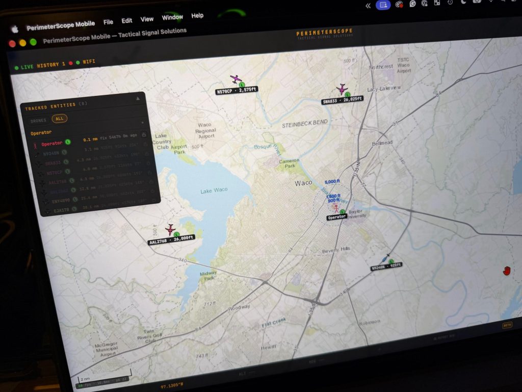
On Sept. 28, I was in Waco, Texas, bench testing a PerimeterScope node. I had just plugged in the drone detection board, a Bluemark DS240, to make sure the hardware was alive after we put it all together, and the antenna wasn’t even connected yet. We received a single Remote ID packet, and it carried both the drone’s position and the pilot’s. That was enough. A drone showed up on the screen along with the pilot’s position, and the pilot was about half a block away. Because it was only one packet, the drone icon dropped off the screen, as it’s supposed to, before I could take a photo, so the picture below shows the map without her drone on it.
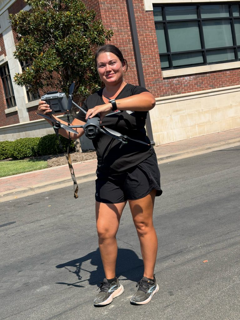 Photo by James Lea
I use a wheelchair, so I don’t wander around hoping to bump into someone. I had a spot on a map, and that was all I needed. I got in my chair, went to that spot and found her. Her name is Courtney. She’s a Part 107 pilot who does drone photography for Lone Star Visuals, and she was out on a job in the neighborhood. She was still flying when I rolled up. I asked if she was the one flying, she said she was, and I waited until she landed.
She was flying legally and broadcasting Remote ID, exactly as she’s supposed to. Once she was down and packing up for her next job, I told her I’d found her with PerimeterScope and told her a little about what we’re building, and we talked shop for a couple of minutes. Courtney was great about it.
 © 2026 - Tactical Signal Solutions
Here is why I’m telling this story. I couldn’t see her drone or hear it. One Remote ID packet reached PerimeterScope, it put the drone and its pilot on the map, and the location was good enough that I could go straight to her. Nobody staged it, and the hardware wasn’t even set up all the way. Two honest notes, though. This was a short-range bench result, about half a block with no antenna attached, so please don’t read it as a range claim, and in normal use the antenna is connected. And PerimeterScope only sees what broadcasts. Courtney was broadcasting Remote ID, which is why she showed up, and a drone that isn’t broadcasting won’t.
That’s the job, though. When a drone is over an incident, a command post, a venue or an airport, the first question is who is flying it and where they are. PerimeterScope puts the drone and the pilot’s position on one live map, so someone can walk up and ask. It doesn’t jam anything or take control of anything. It listens, and it tells you where to go.
If you work incidents, events or airports and want to see it for yourself, we’ll be at Disasters Expo Texas, Booth 1718, on Oct. 14 and 15 at the George R. Brown Convention Center in Houston, and PerimeterScope will be running live at the booth. You can also reach me at [email protected] or +1 (386) 800-2553. And if you need drone photography in central Texas, Lone Star Visuals is worth a call.
See how PerimeterScope can improve awareness around your operation, site, or event.
Request your demo today.
Request a Demo