Airspace is getting busier.
Today, it is not just airplanes overhead. It can also include drones, helicopters, medevac aircraft, news aircraft, and other low-altitude traffic operating near your mission area, event site, or facility.
The good news is that many of these aircraft are already broadcasting signals that tell you they are there.
That is where Remote ID, ADS-B, and UAT come in.
The simple version
Think of these as electronic signals that say:
“Here I am.”
Some are broadcast by drones. Some are broadcast by manned aircraft. If you have the right receivers in the right place, you can detect those signals and turn them into usable awareness.
What is Remote ID?
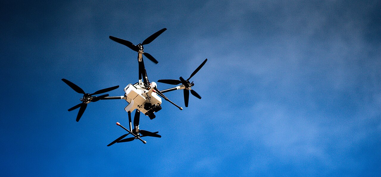
Remote ID is the signal many drones broadcast while they are flying.
It can include basic information such as the drone’s location, altitude, speed, and identifying data. In simple terms, it is like a digital license plate for the drone. The FAA requires Remote ID compliance for drones that are required to be registered, including many drones used for recreation, business, and public safety.
That matters because it gives operators on the ground a way to know when a drone is nearby and whether it may be part of the mission, or something that needs attention.
What is ADS-B?
ADS-B is a signal used by aircraft.
It stands for Automatic Dependent Surveillance-Broadcast, but you do not need to remember that. What matters is this: many aircraft transmit ADS-B so air traffic systems and other receivers can know where they are.
That broadcast can include the aircraft’s identity, position, altitude, and movement. In the United States, ADS-B Out is required for aircraft operating in certain controlled airspace.
In plain English, ADS-B helps make aircraft visible electronically.
What is UAT?
UAT stands for Universal Access Transceiver.
It is one of the ways some aircraft broadcast ADS-B in the U.S. It operates on 978 MHz and is commonly used by certain aircraft flying below 18,000 feet.
You can think of UAT as one flavor of aircraft broadcast signal. It is still part of the broader airspace picture.
Why this matters in the real world
If you are responsible for a site, a temporary operation, a disaster response area, critical infrastructure, or a public event, awareness matters.
You do not want to guess what is overhead.
You want to know:
- Is that drone part of our operation?
- Is there a helicopter approaching?
- Is a low-flying aircraft nearby?
- Are multiple air assets operating in the same area?
The more complete your picture is, the better your decisions can be.
How PerimeterScope helps
PerimeterScope puts the receivers in the middle of the AOR.
That is the key.
Instead of hoping to catch activity from far away, PerimeterScope is designed to place the receiving equipment where the operation is actually happening. That improves local awareness by detecting the signals being broadcast in and around the area you care about.
PerimeterScope uses receivers for:
- Remote ID from drones
- ADS-B
- UAT from aircraft
That means it can help teams see both drone activity and aircraft activity around the same operational area.
In simple terms, PerimeterScope helps answer one very important question:
What is in the air around us right now?
One picture, better awareness
Remote ID helps reveal many drones.
ADS-B and UAT help reveal many aircraft.
PerimeterScope brings those inputs into the operational area so teams can build a clearer picture of what is happening overhead.
That is useful for:
- disaster response
- emergency operations
- security teams
- infrastructure protection
- temporary field operations
- event safety
When awareness improves, response improves.
Final thought
Airspace awareness should not be complicated.
Drones and aircraft are already broadcasting signals. The challenge is being able to receive them where it matters most.
That is exactly why PerimeterScope exists.
Ready for better awareness? Request your demo today.
Request a Demo